Civil 3D GIS Design
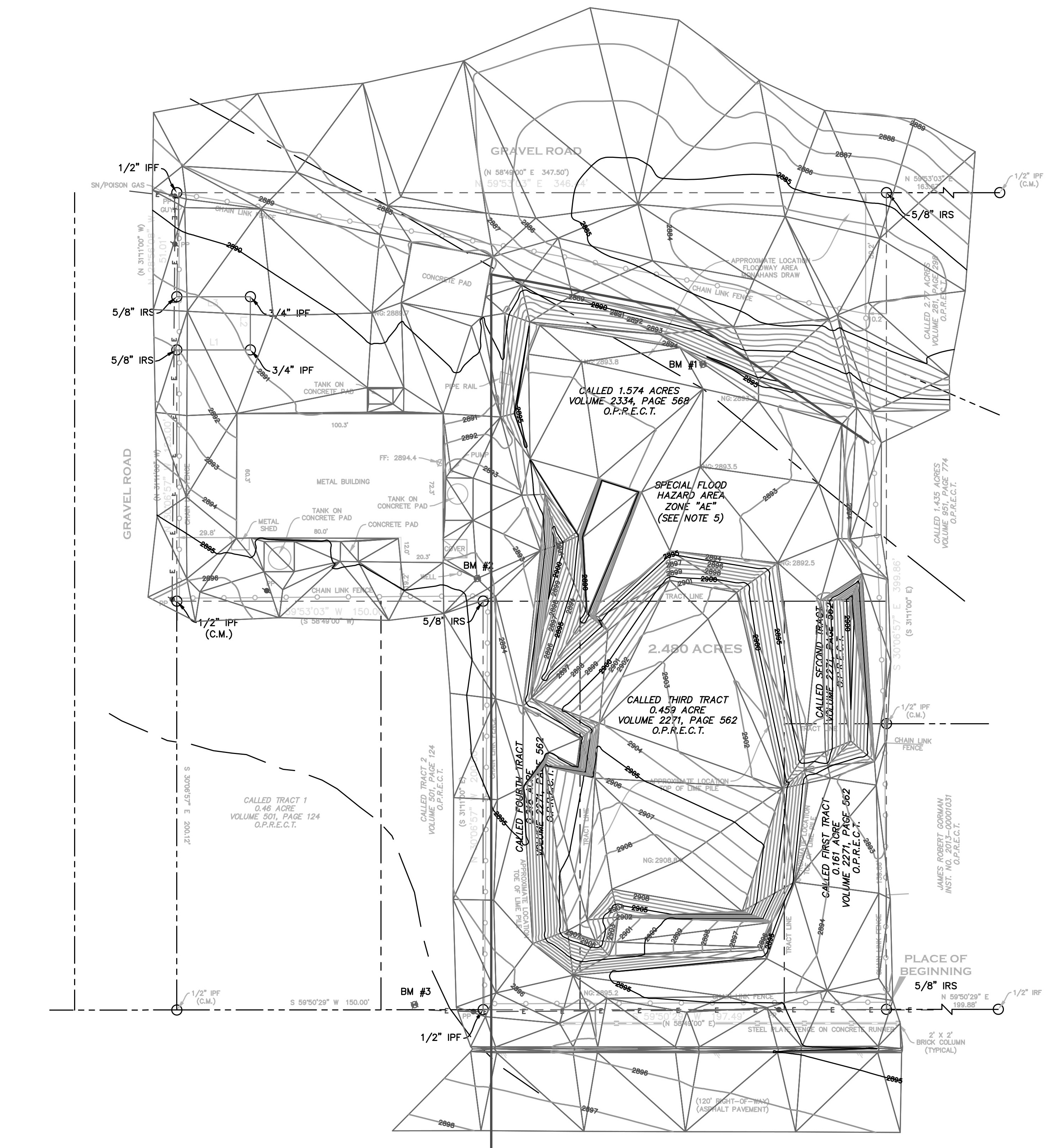
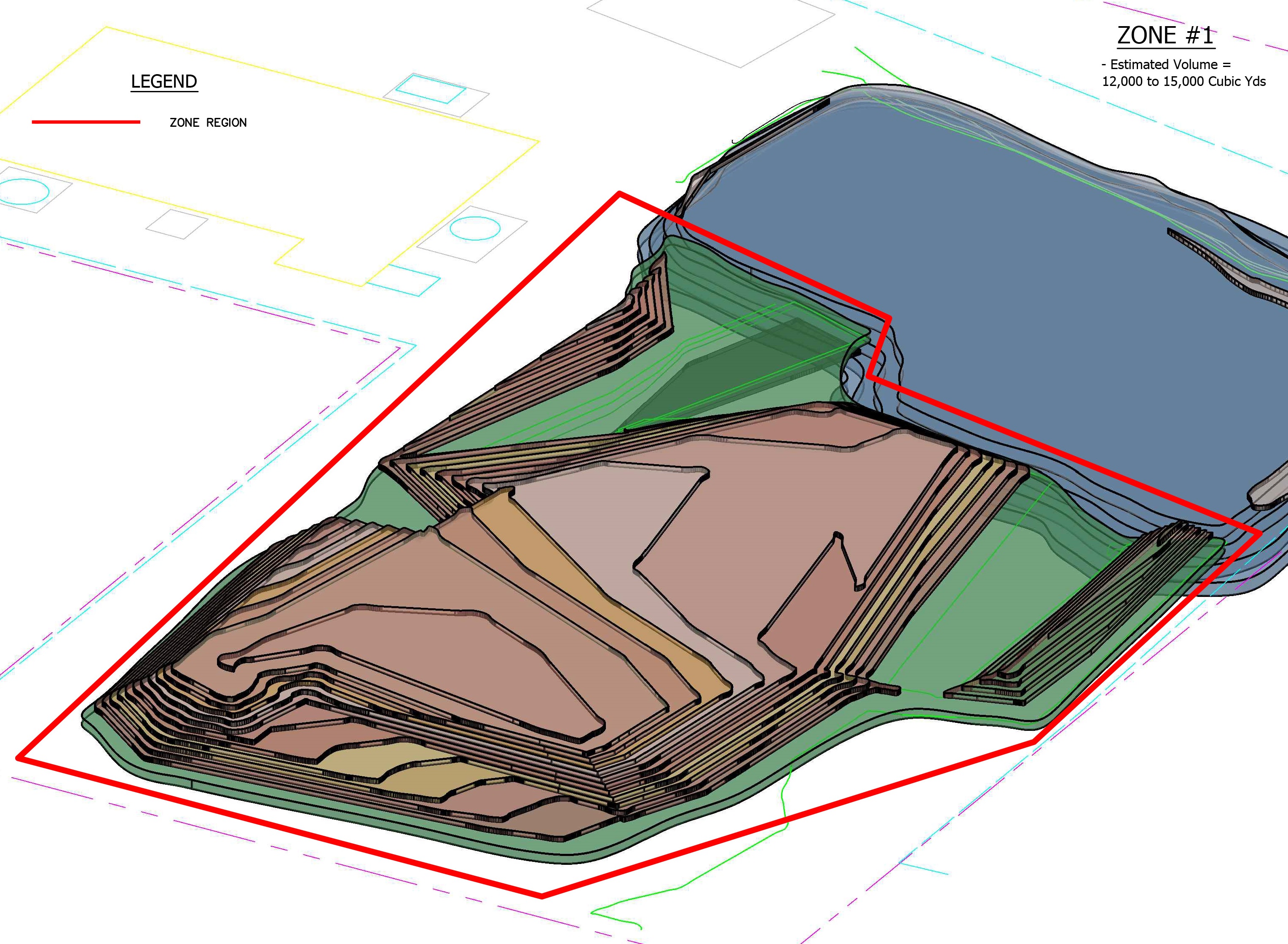
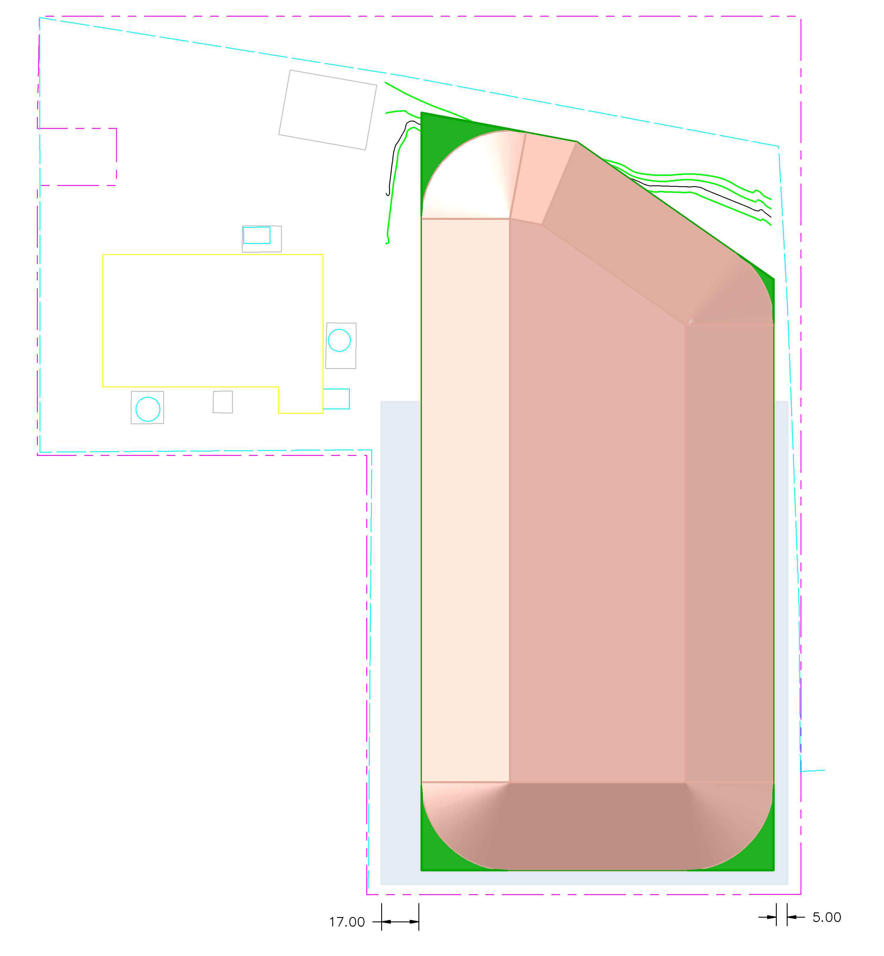
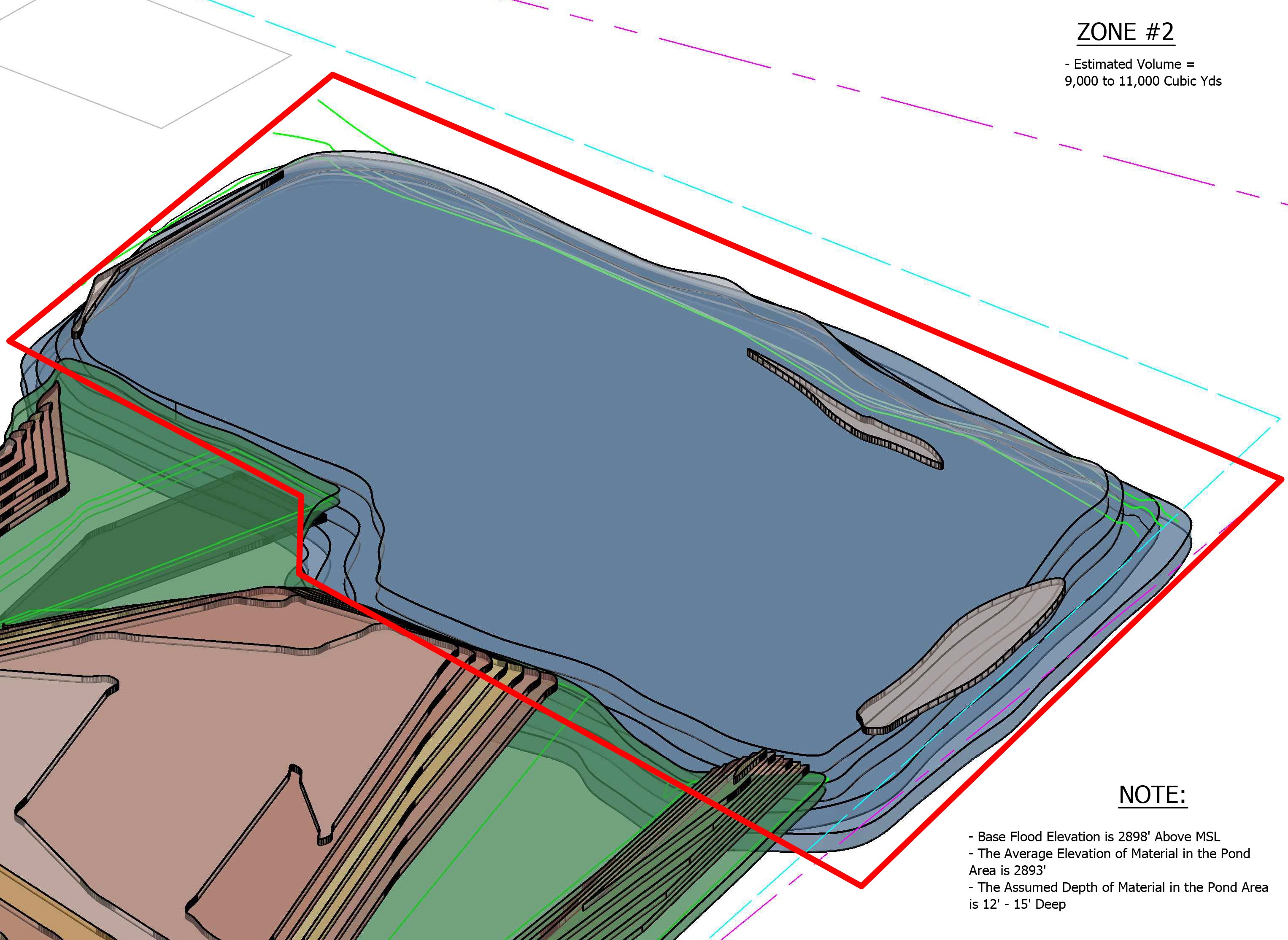
The capabilities of 3D Civil design applications allow design engineering teams to properly calculate soil or liquid volumes and to measure cut and fill values down to the cubic foot. The power of Civil GIS design platforms bring precision latitude longitude reference points forward to create and complete exciting road, bridge, drainage and infrastructure projects.
ESRI Database Civil Arc GIS Design
At EDI we create and manage Civil 3D data plus ESRI Database Arc GIS projects to support our engineering clients to effectively communicate civil design layout to ensure project success. Following precise civil standards coupled with open lines of communication between designers, project managers and engineers keeps completion dates in line and project budget estimations in check.
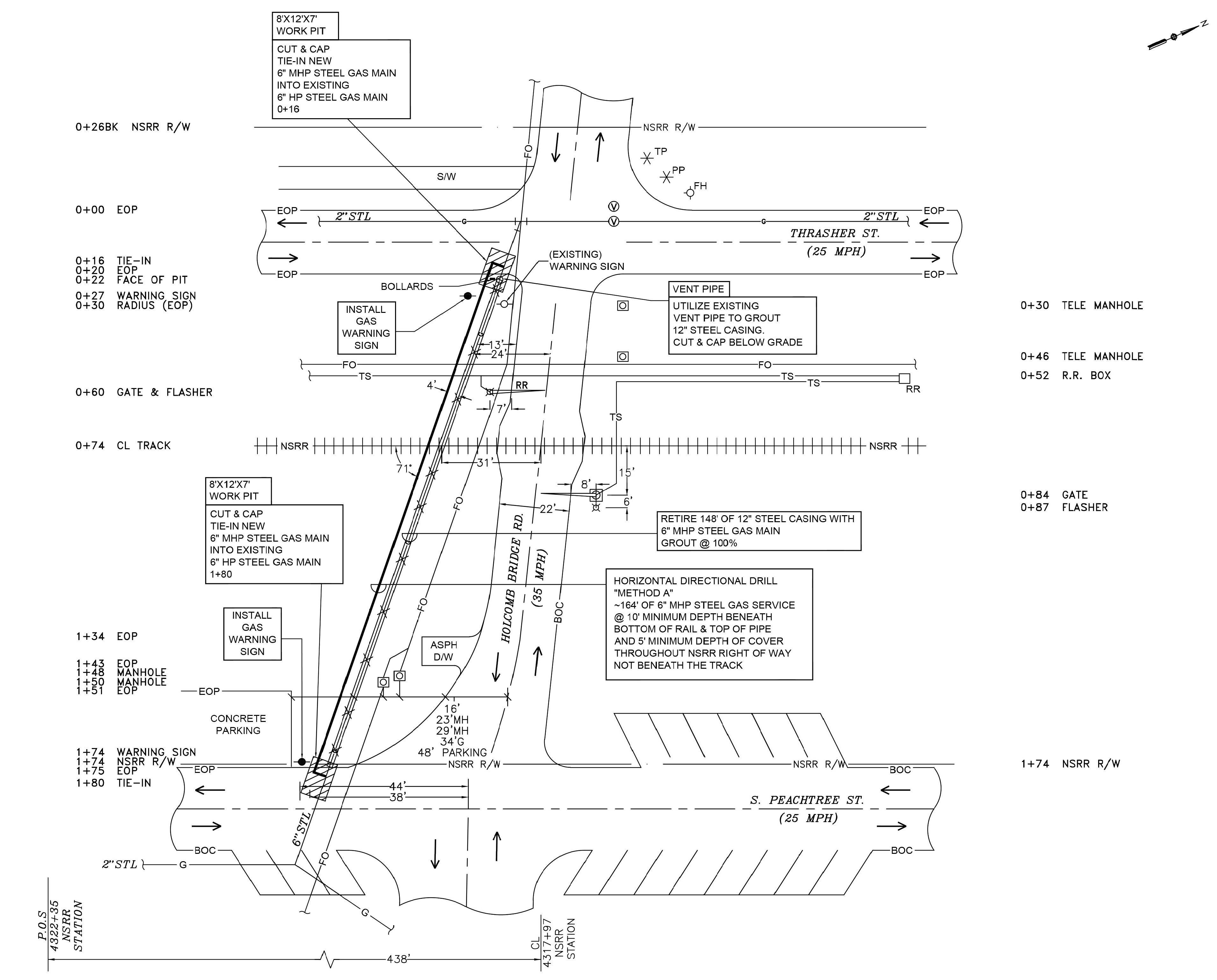
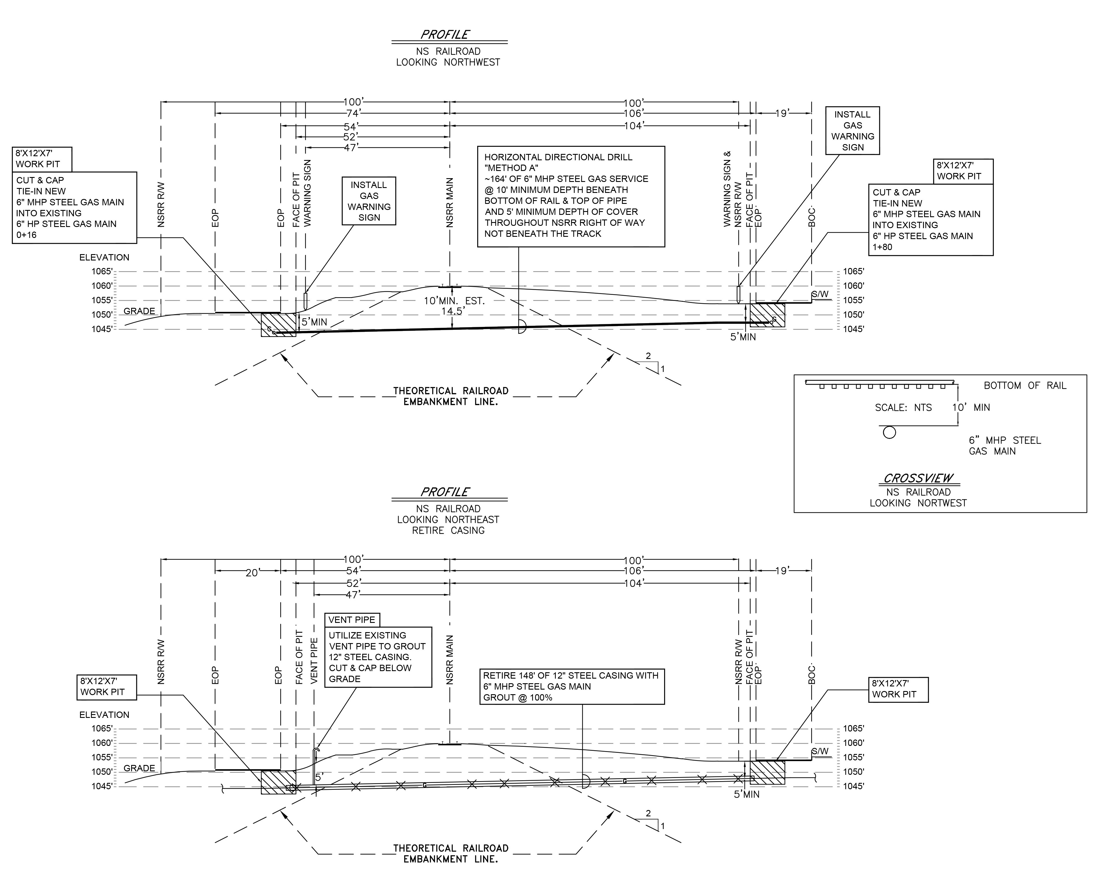
Civil CAD Design
State of the art utility, power, water and transportation systems are the bedrock for maintaining a healthy society and ensuring that communities stay viable and competitive for generations to come. Designing detailed and elaborate Civil data designs to meet the precise needs of our clients is where we thrive. Weather you require traditional Civil design layouts or more advanced Civil 3D data design models, know that EDI will deliver.
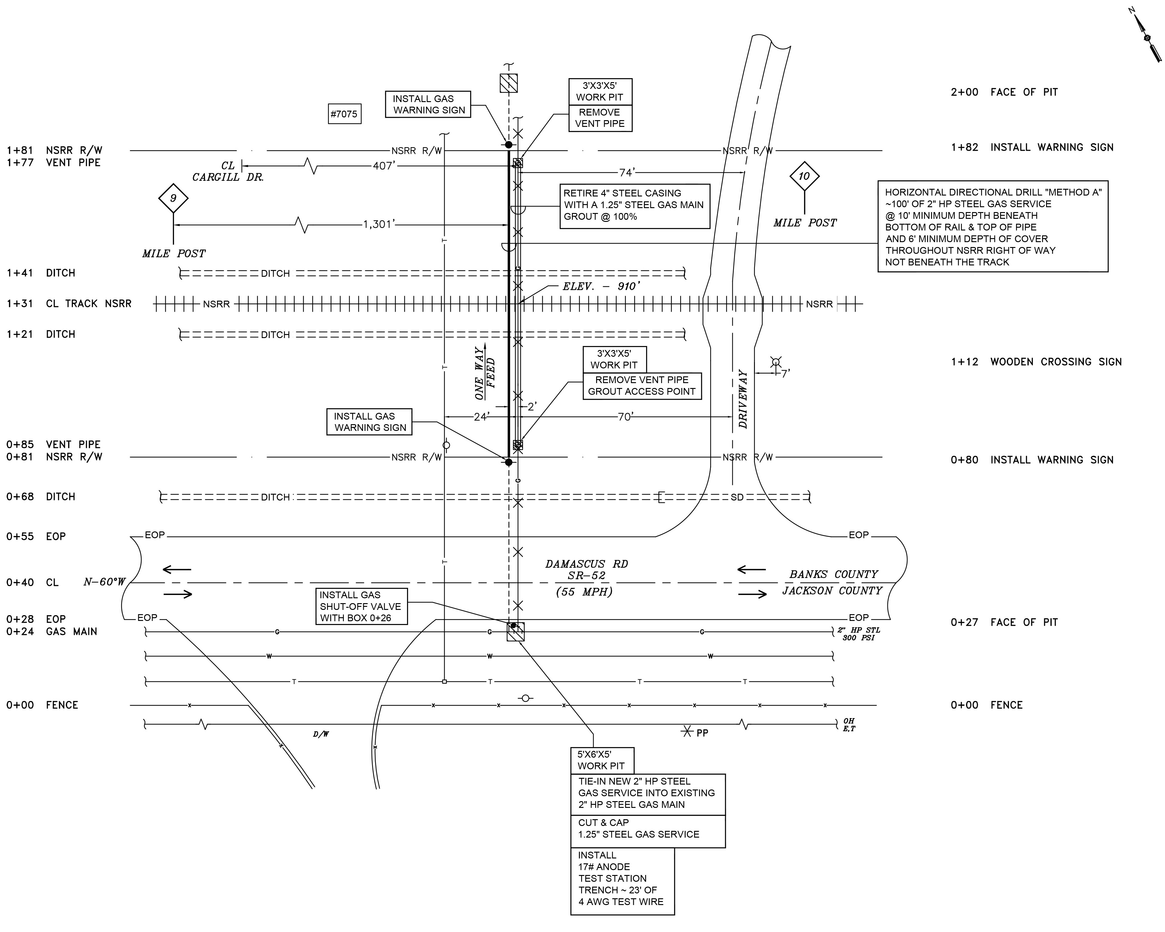
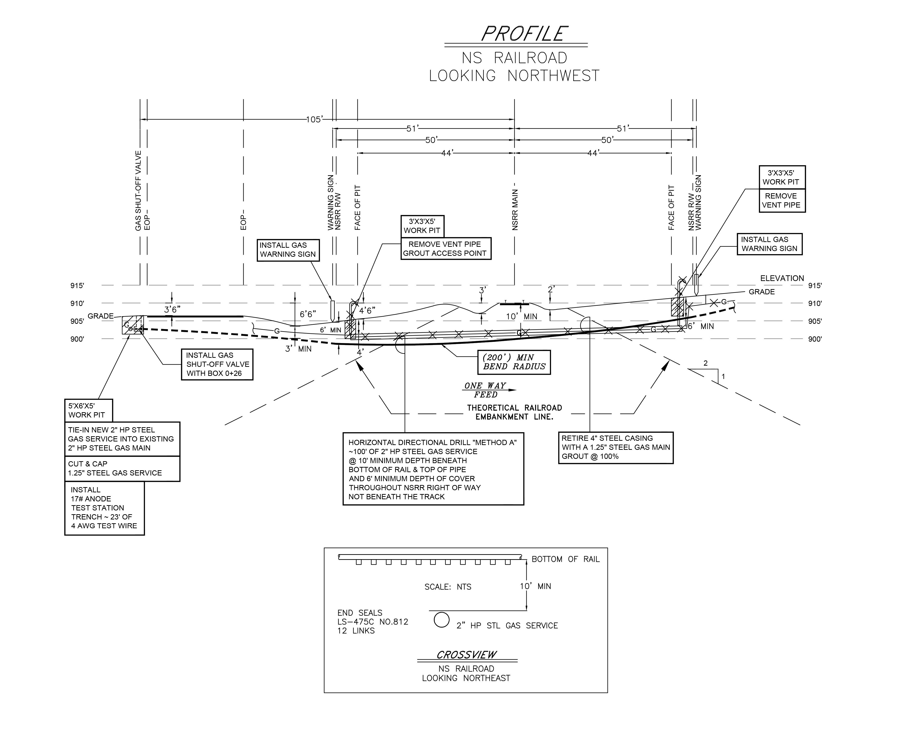
Design Your Future Today
Do it Right the First Time + Communicate = Success
