Oil & Gas Data Analysis
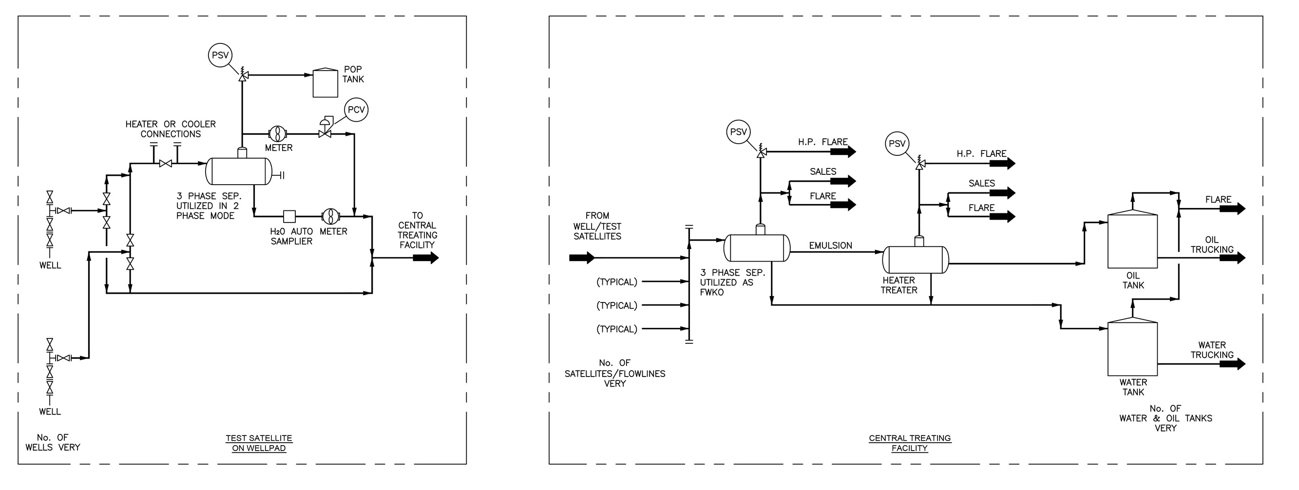
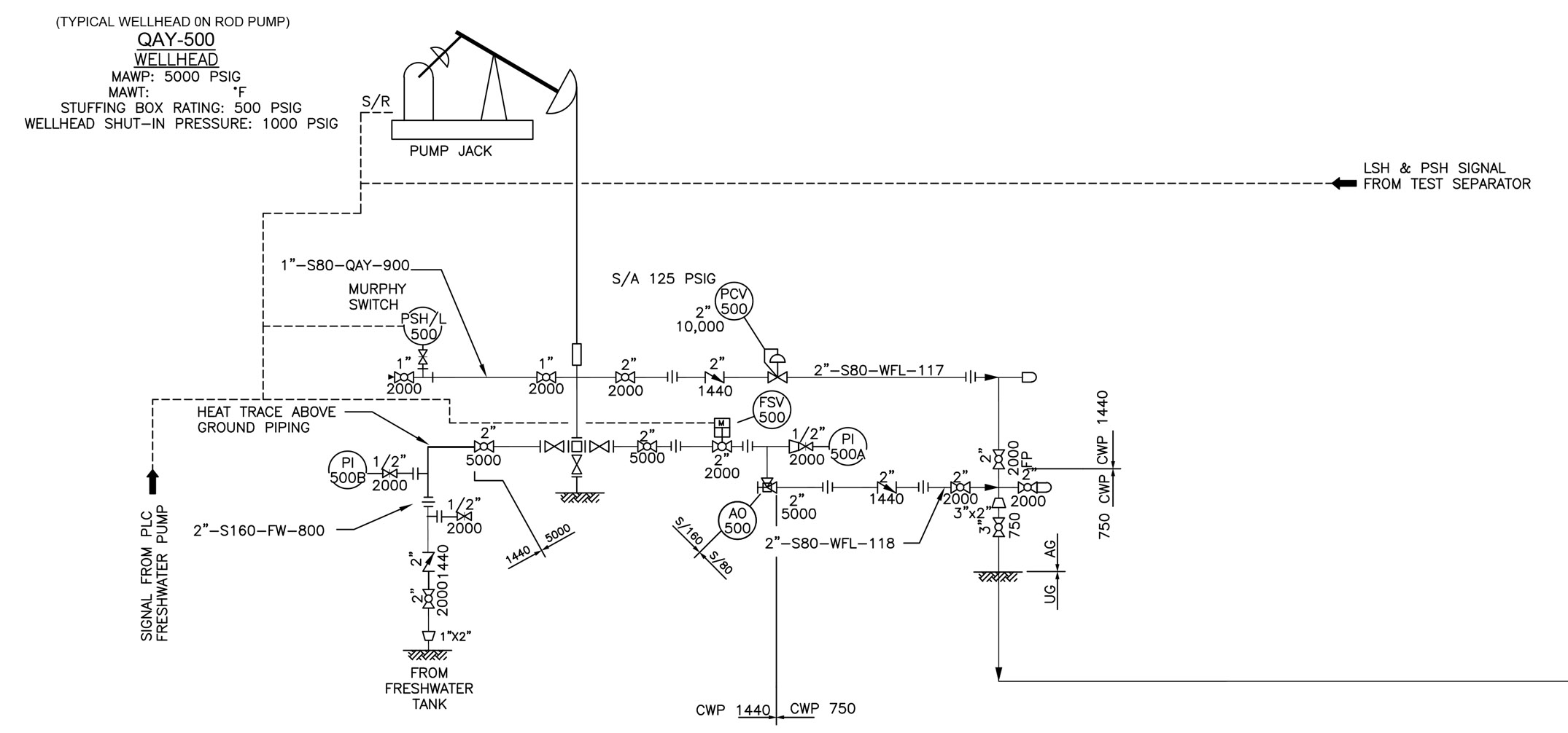
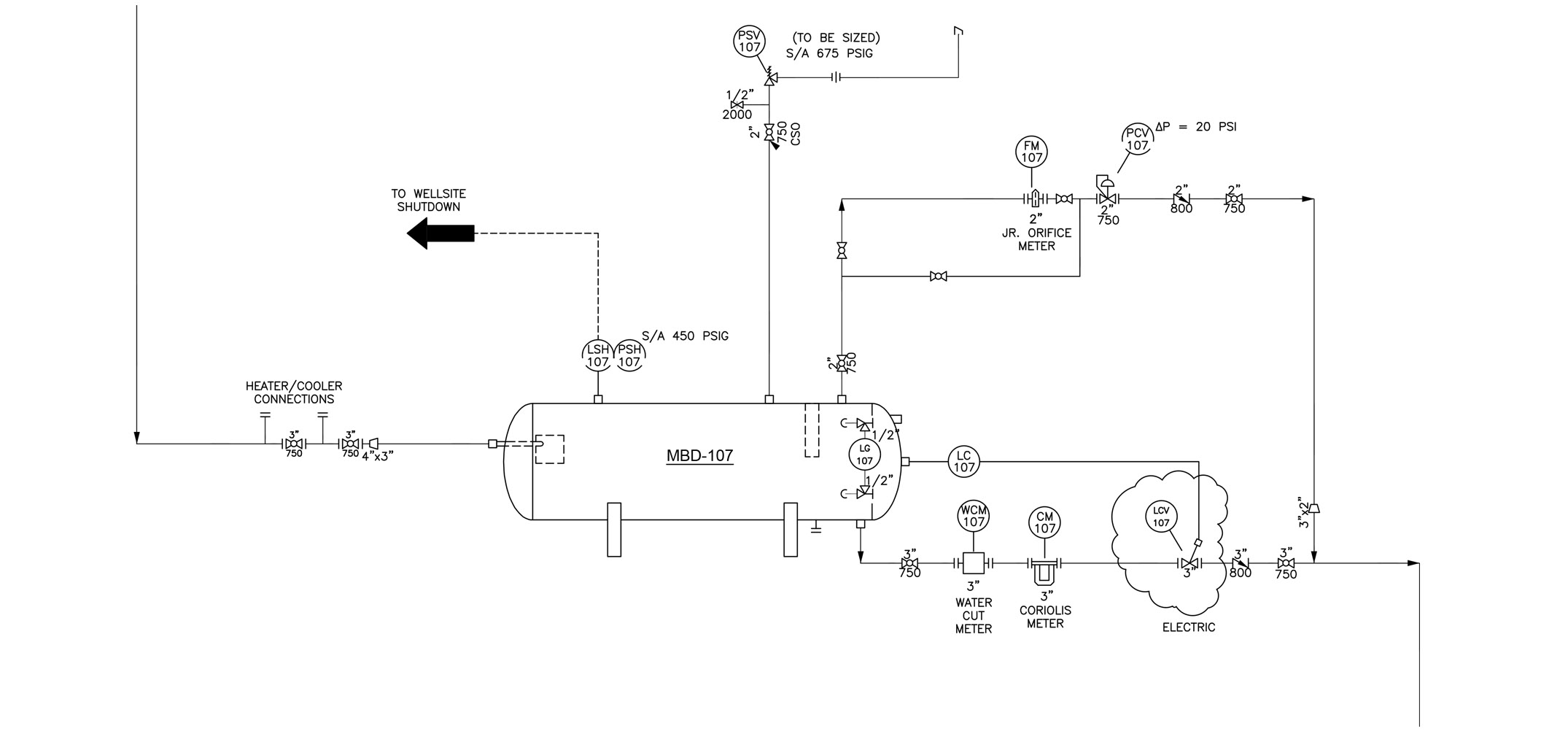
Data management in the Piping / Oil & Gas sector is a specialized engineering discipline focused on the dynamics of transporting liquids and gases safely and efficiently via upstream, midstream and downstream operation systems. At EDI we work closely with our clients to specify fitting types, mechanized components and piping types to define a detailed list of subsets to represent all aspects of the mechanized Oil & Gas system.
ESRI Arc GIS Lithology
ESRI Arc GIS and Google Earth are essential cornerstones to Oil & Gas data analytics projects and offers global precision accuracy for location and depth analysis when required. Geographic information systems (GIS) linked with detailed databases can query analytical information in meaningful ways to solve complex problems with purposeful results.
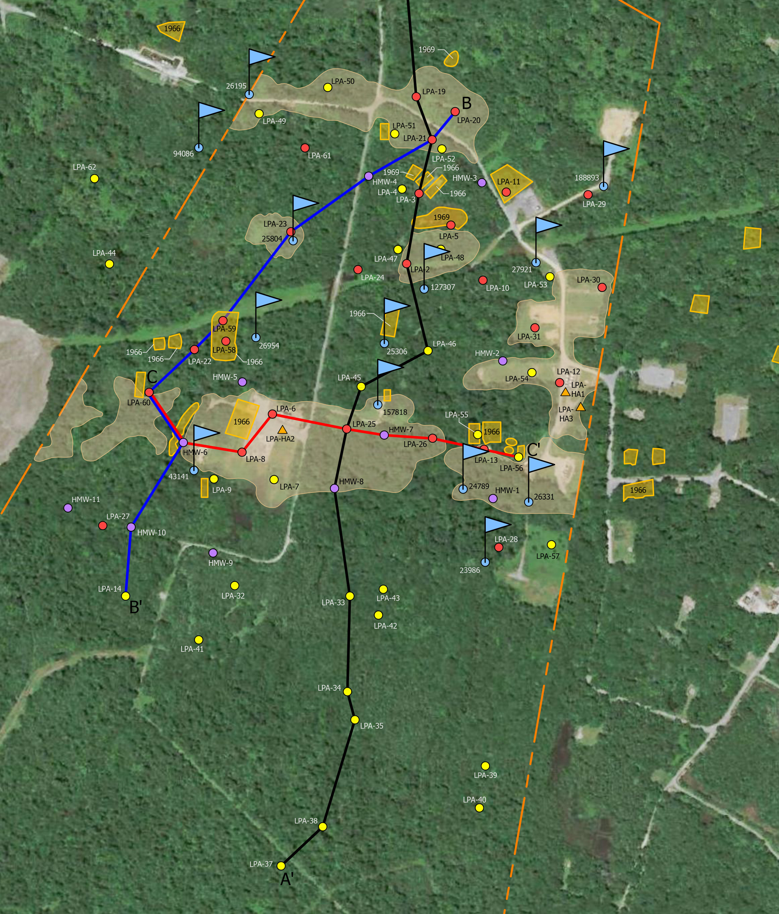
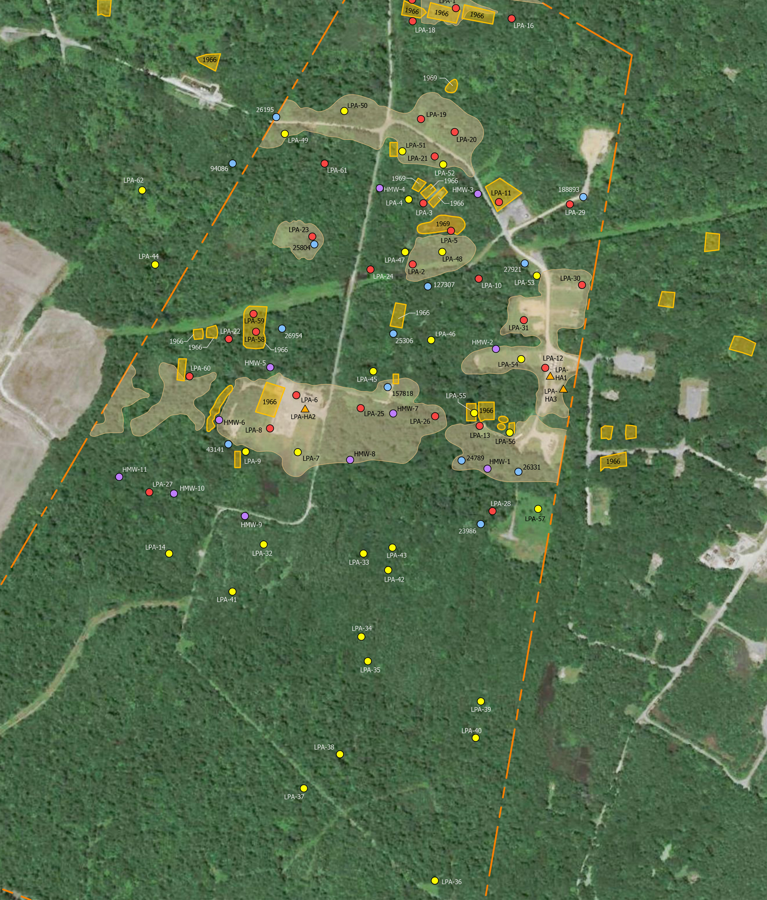
Geographic GIS Cross Sections
Our capabilities in the Oil & Gas sector also include the ability to create dynamic cross section geologic representations that bring soil analysis to life. For more mechanically oriented projects we can utilize 3D parametric modeling systems like Inventor when required. Clear 3D models designed in Solidworks or CATIA can also be advantageous when complex systems are difficult to visualize and systems layouts specify compact orientation to a limited space.
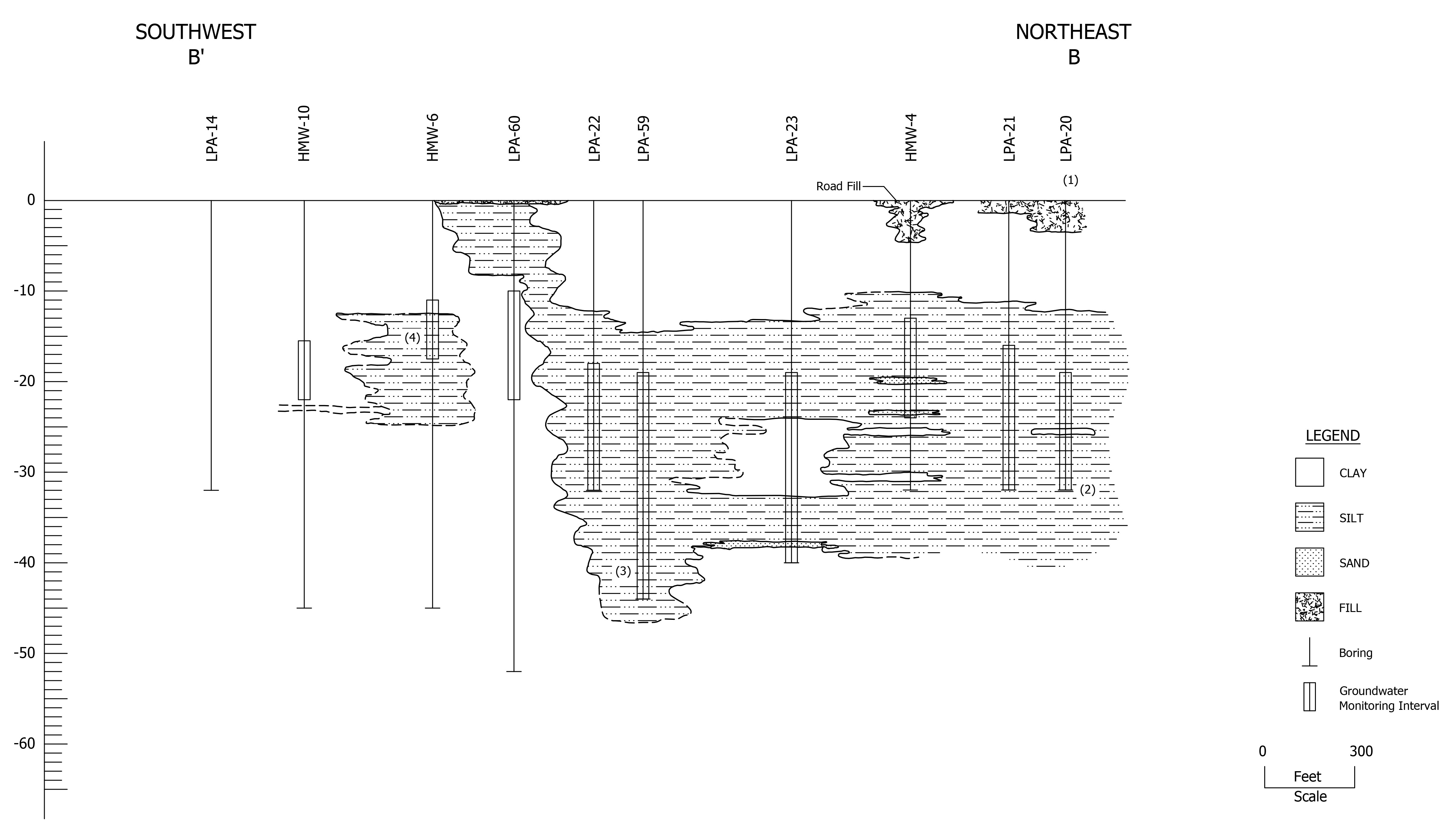
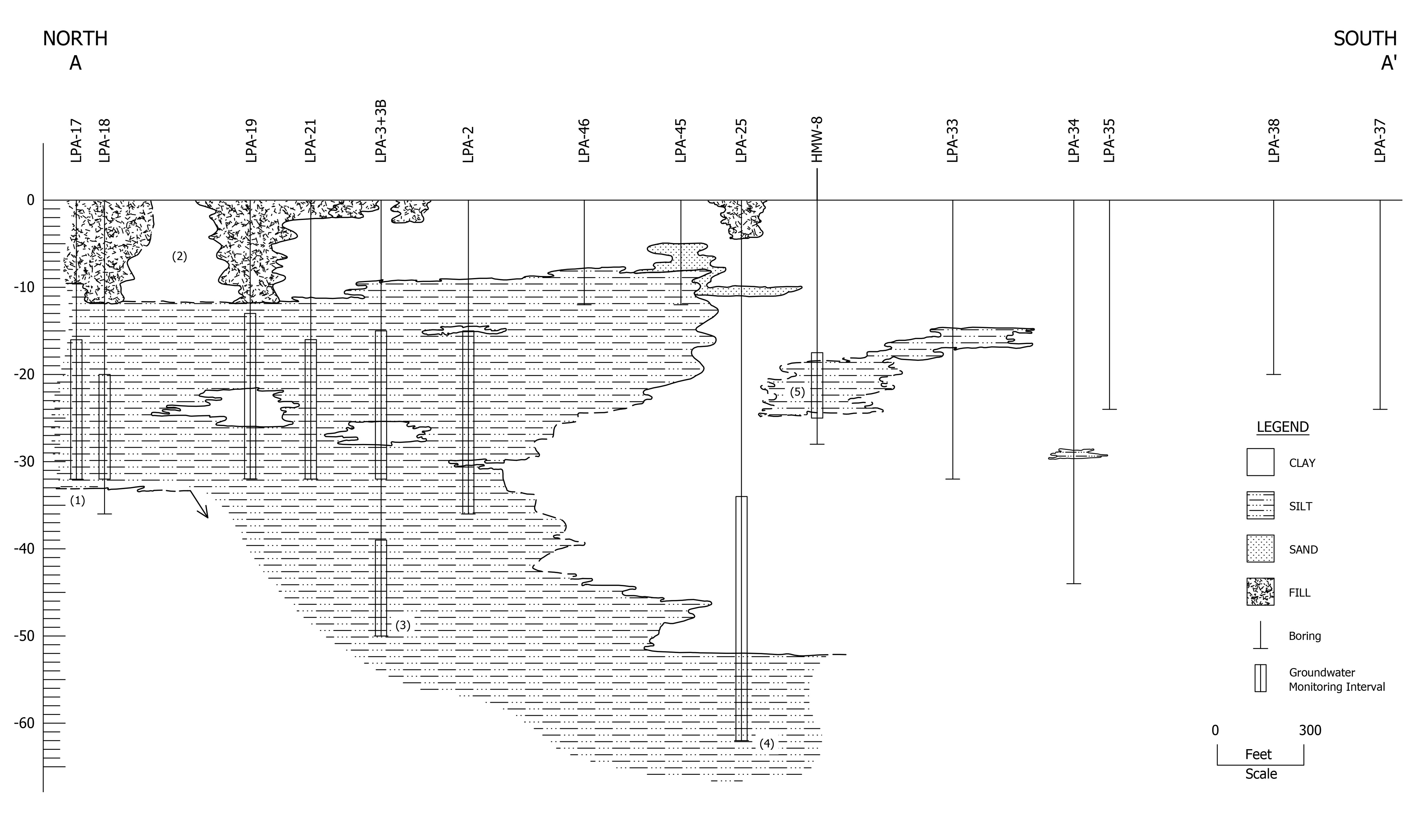
Google Earth + ESRI Arc GIS
Our Geology page offers some exciting examples of Arc GIS capabilities.
